Mapping Almora District: Information design for
Enabling Administration.
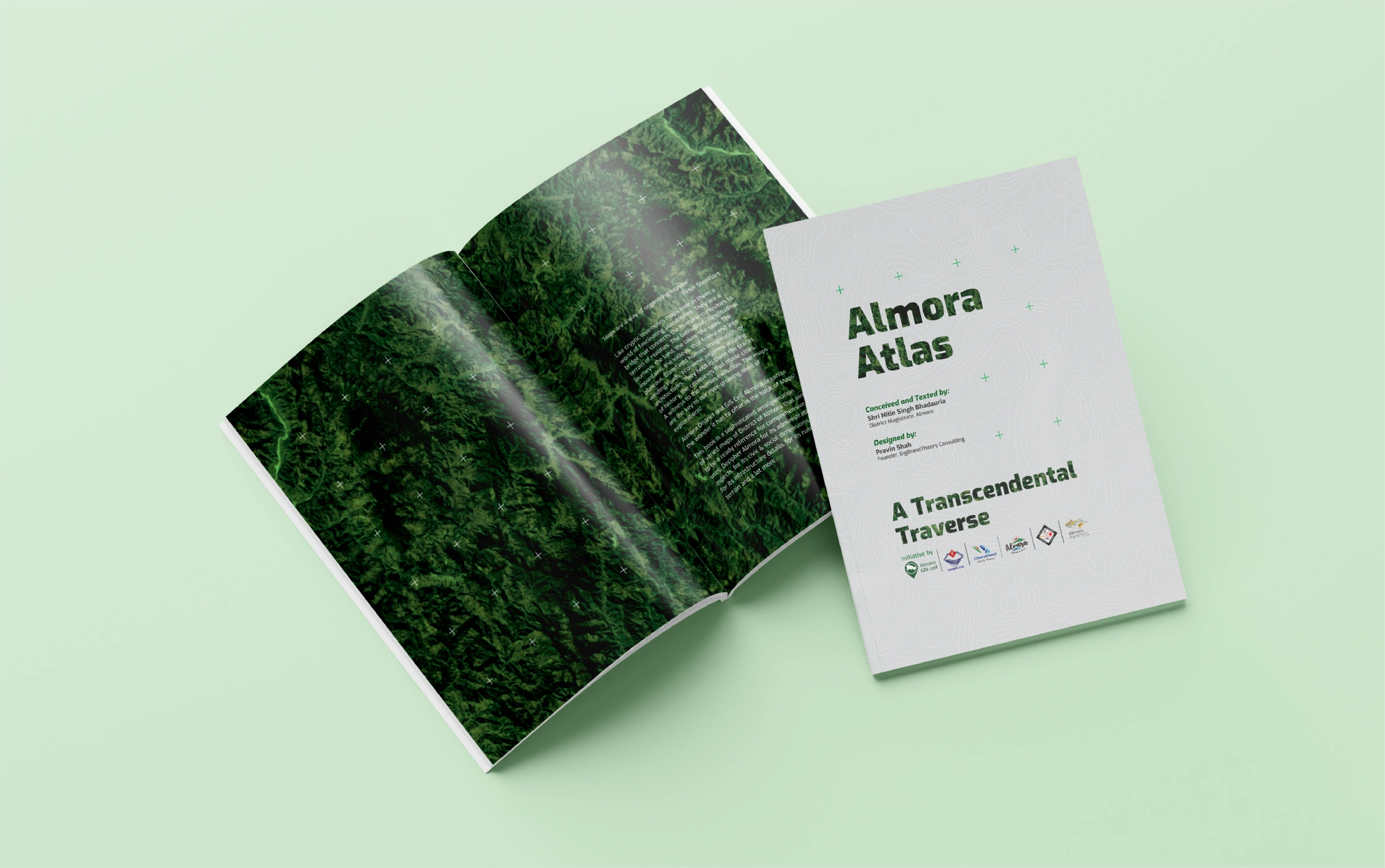
Designing and Organizing the wonders Almora District has to offer.
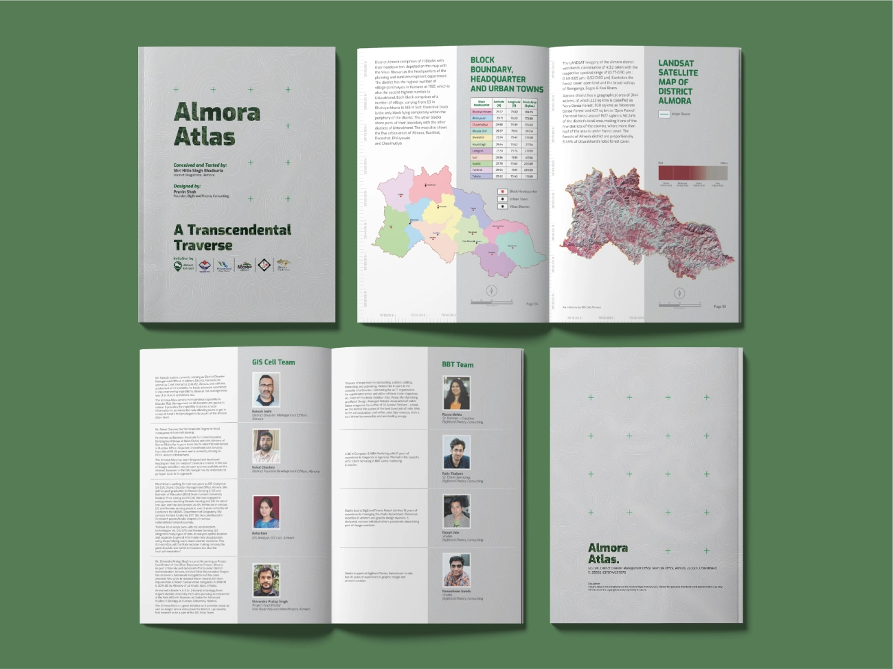
The administrative outlook of Almora District is anchored to progress that is agile, inclusive and sustainable. It is this anchor that defines every initiative that we envisage and implement. This map collection, hardbound in a book, is one such initiative. Spearheaded by the accomplished GIS Cell, this book plots the many dimensions of Almora.
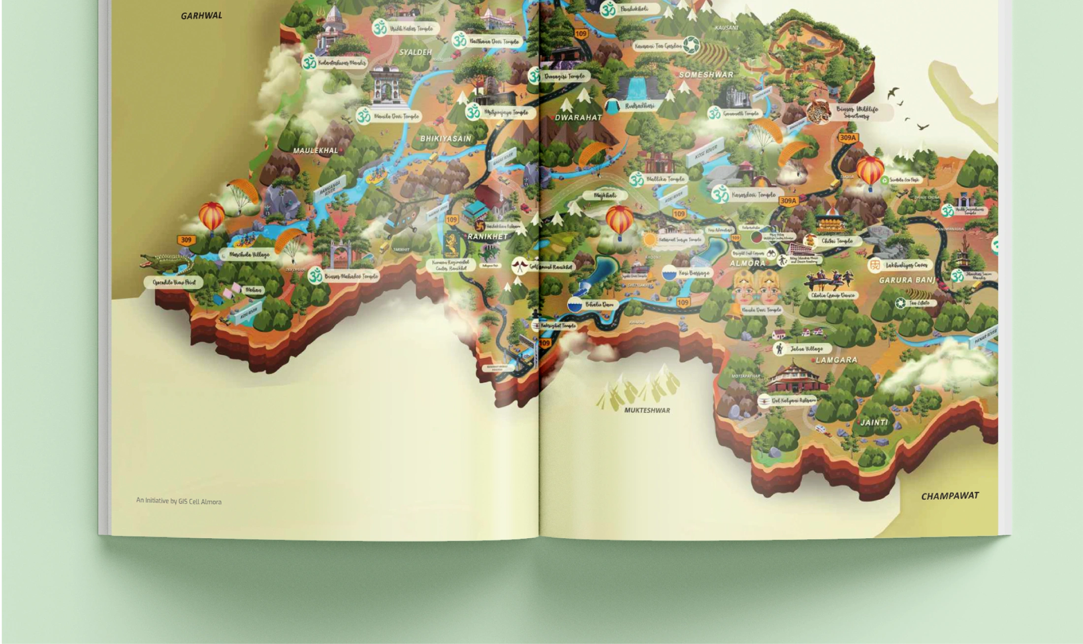
This book is a sophisticated amalgamation of varied maps of the District of Almora that aims to be a ready reference for comprehensive uses. Decipher Almora for its administrative aspects, for its civic & social dimensions, for its infrastructure details, for its natural terrain and a lot more.
The efforts carried out by the GIS cell have impacted many aspects, some mentionable projects include, Kosi Rejuvenation Project – A GIS Based approach to rejuvenate a Himalayan river, Election project. The cell enables and empowers the rescue missions with its tech and information strength. In Almora District’s endeavor to enrich and accelerate the integration of tech and information to achieve impactful intelligence, and constantly invest in better infrastructure, sophisticated systems both hardware and software and talent, this book played a pivotal role.

Thank you